The FJD Trion™ V4E Series consists of 3 products: V4E Air, V4E and V4E Pro. They brings a new level of intelligence to farm surveying. It takes measurements from the field and combines them with digital maps to enhance accuracy, visualize field information, and optimize operational paths.
V4E Air


V4E: V4E Air with IMU
Max. 30° Tilt Surveying
Compensate for tilt angles up to 30° with a built-in IMU at ±3 cm precision, so you don't need to hold it perfectly straight.

V4E Pro: V4E with Laser

Accuracy @3m≤3cm
With a visible green laser, people may find the target quicker. It also gives you ≤3cm accuracy at a 3m distance without a surveying pole, while achieving ±3mm precision at a 10m distance for precise point targeting.
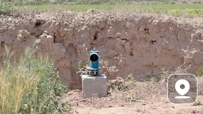
Agricultural Surveying


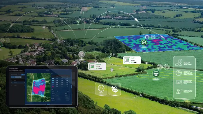
FieldFusion: Task Dispatch & Execution
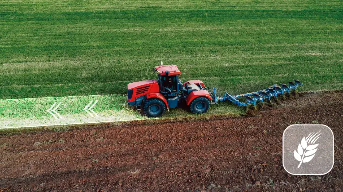
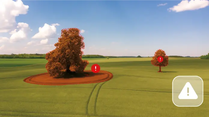
Experience a seamless digital workflow from field to execution. The V4E series can be used to create high-precision foundational agricultural data (points, lines, and polygons), laying the groundwork for a comprehensive GIS library. This database, in turn, supports strategic farm planning and precise task execution. Furthermore, they can capture boundaries and obstacles effortlessly with the V4E, then FMS can generate optimized paths that eliminate overlaps and reduce input costs, and then it will dispatch these tasks directly to your Autosteering devices for precise execution—saving you time, energy, and resources.