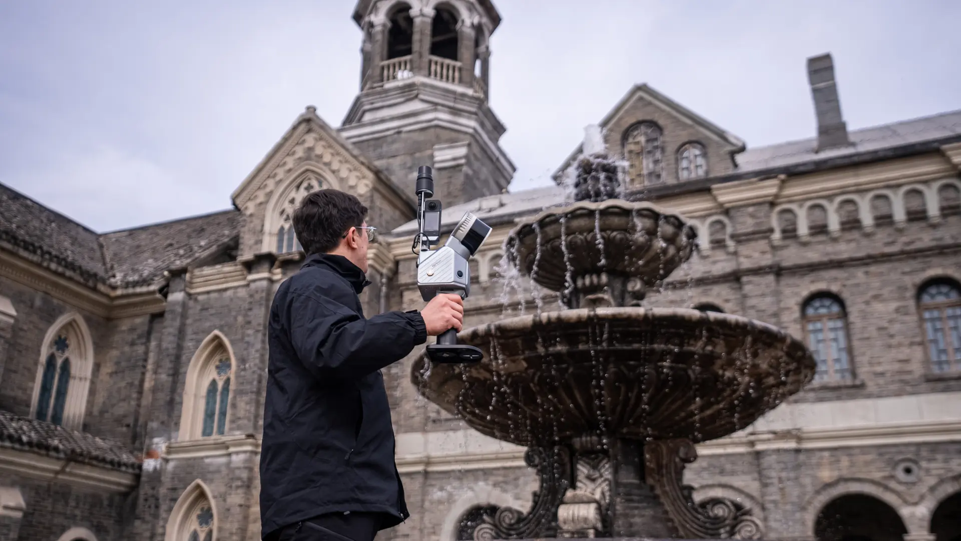
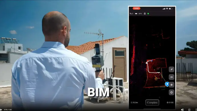
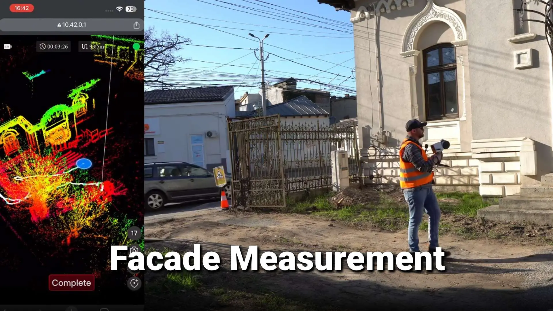
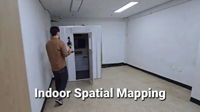
Easy Reality Capture
Whether you're a seasoned pro or just starting to explore 3D laser scanning, find solutions that meet your project requirements. Scan any space with powerful and compact LiDAR scanners, and quickly process data with intuitive software.
 pc
pc
 h5
h5
More than Accuracy
Measure points, contours, and areas with new and improved RTK GNSS systems that go beyond survey-grade precision. Explore products that integrate IMU sensors, cameras and intelligent features to make field work that much easier.
 pc
pc
 h5
h5
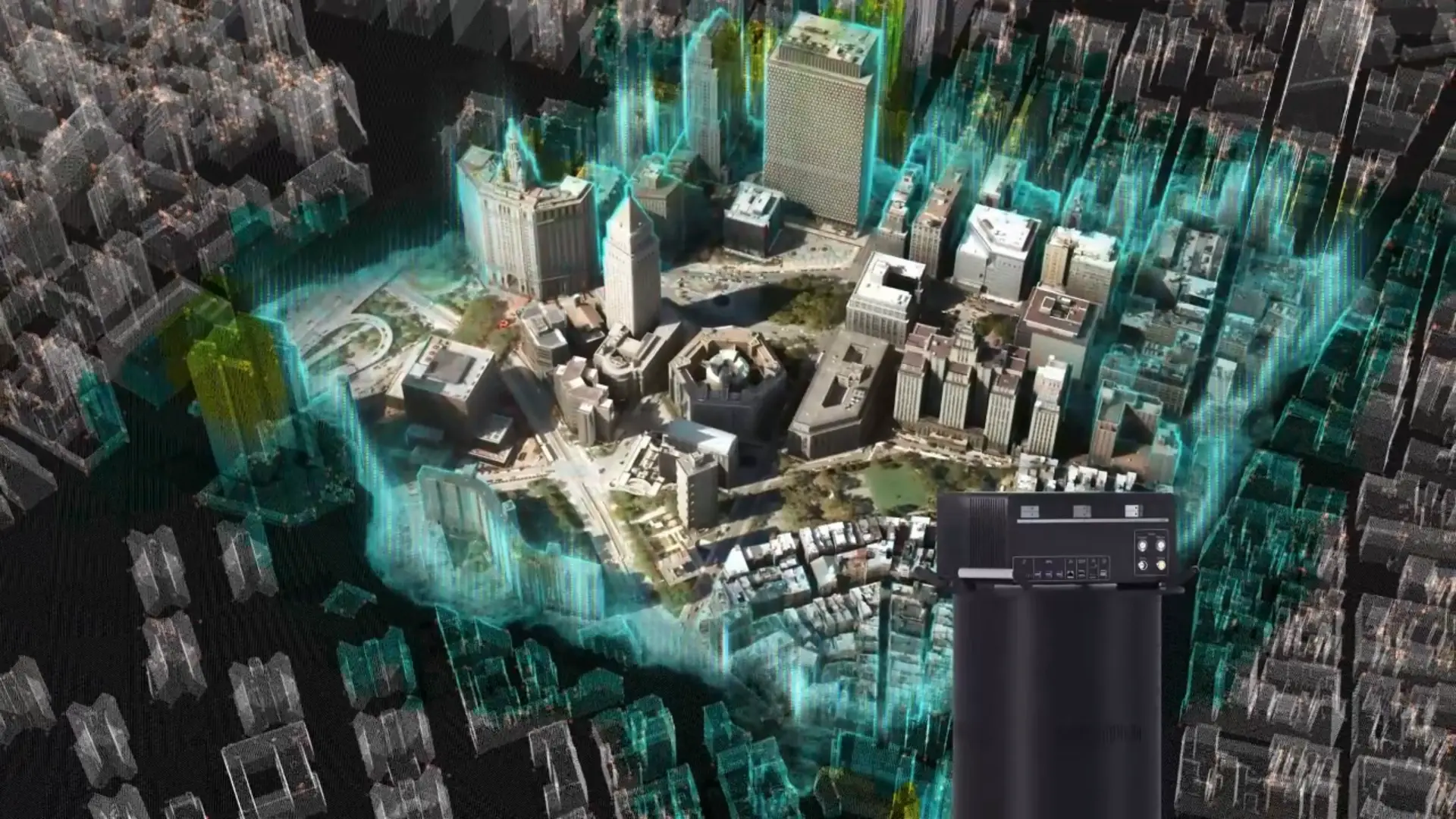
Urban Mapping Redefined
FJDynamicsの航空マッピングシステムは、データ収集の効率を飛躍的に向上させます。中判航空カメラや斜めカメラアレイを活用し、ミッションの質を次のレベルへ引き上げます。
 pc
pc
 h5
h5
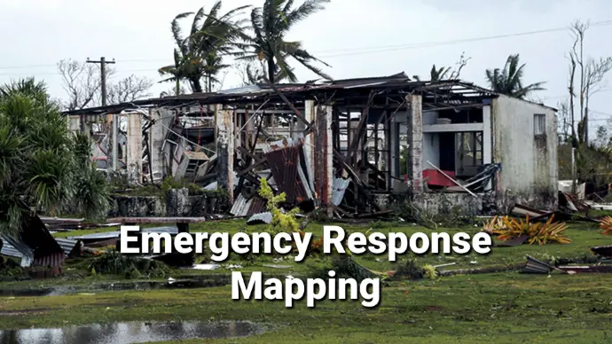
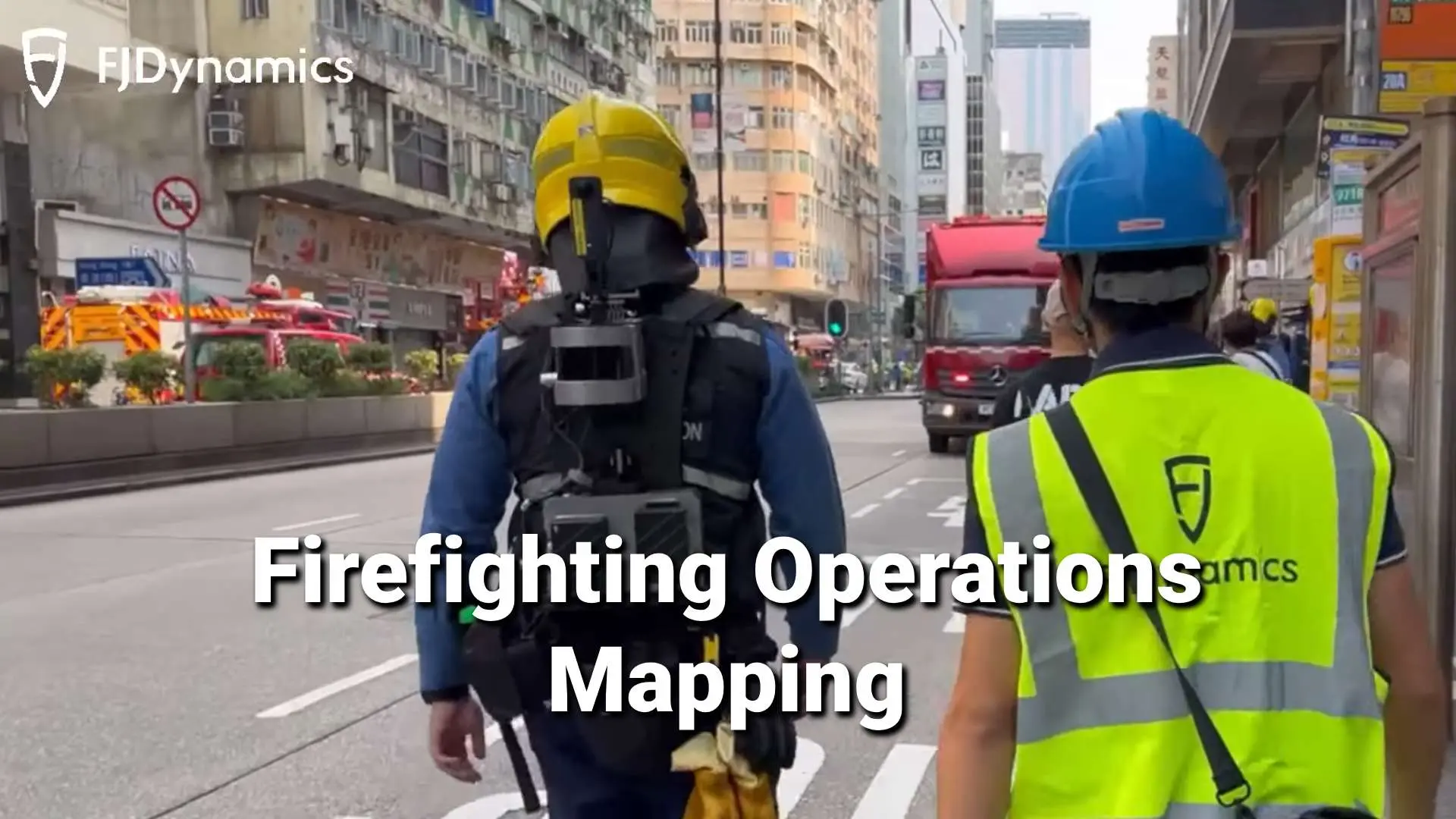
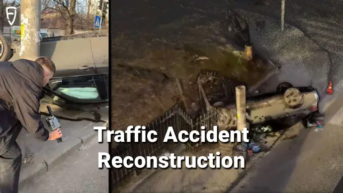
Solutions Overview
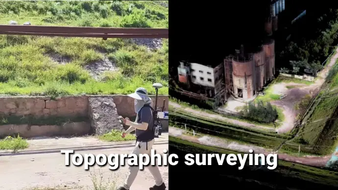
- Surving and Mapping
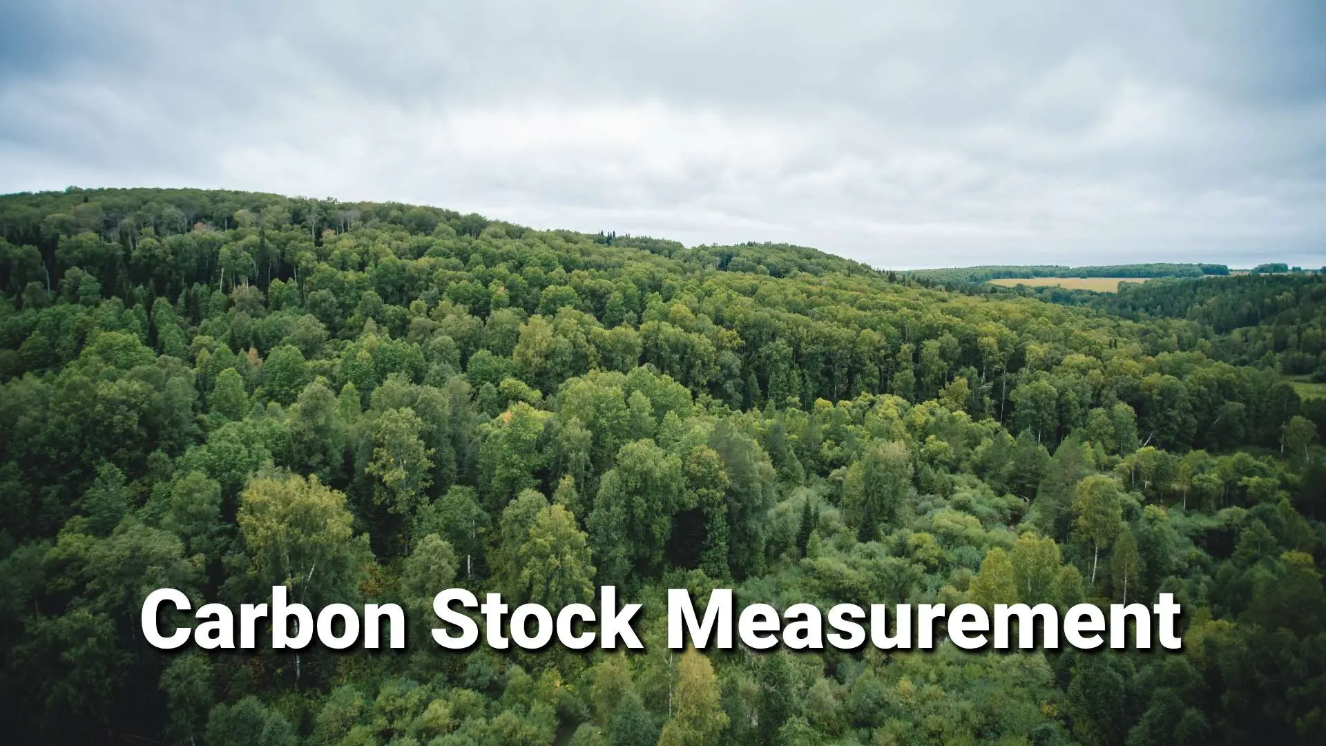
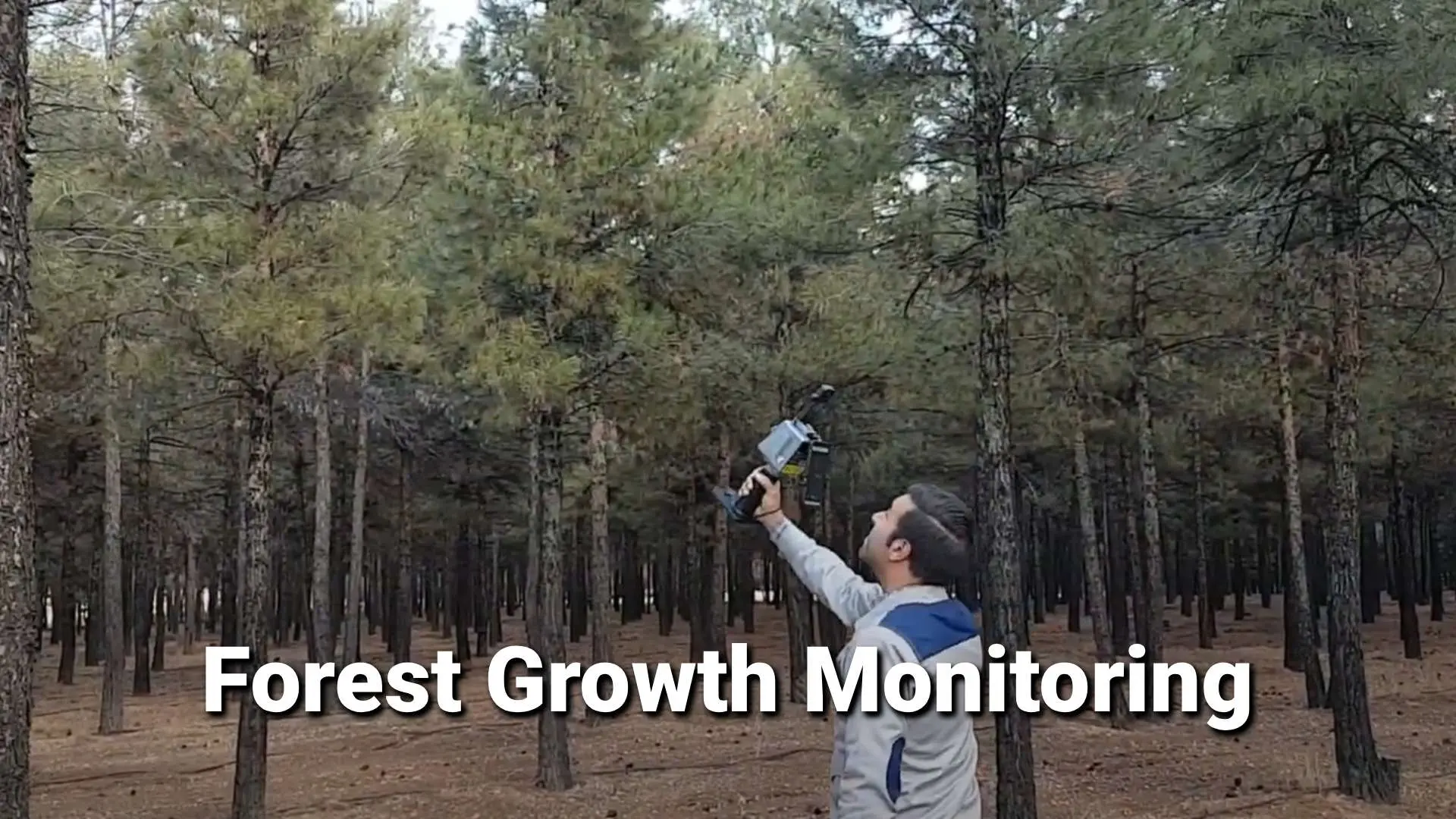
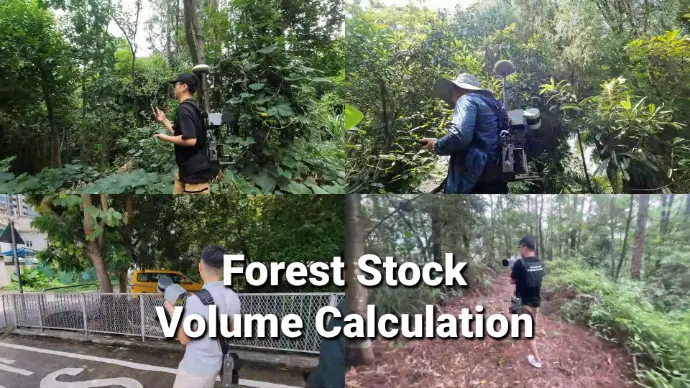
- Forestry Management
- AEC
- Public Safety
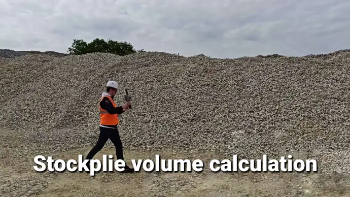
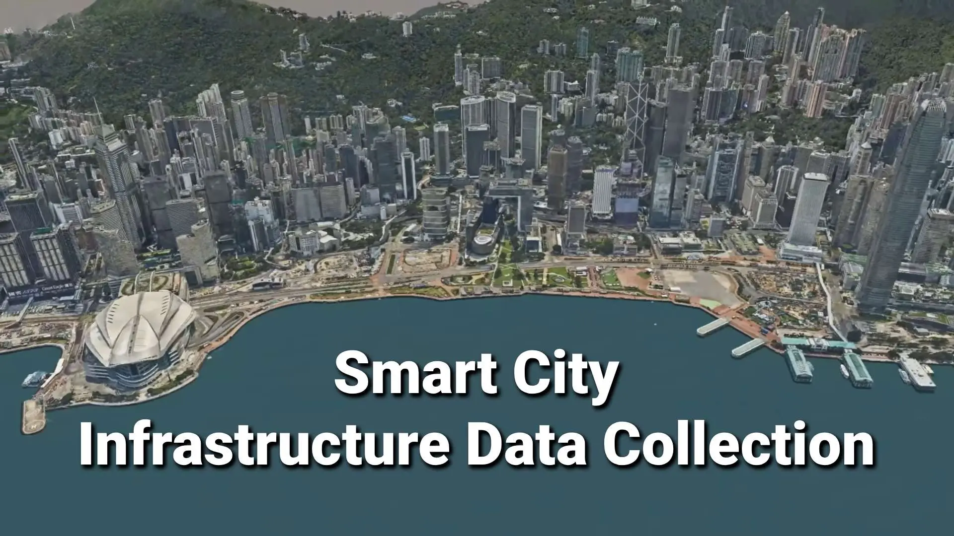
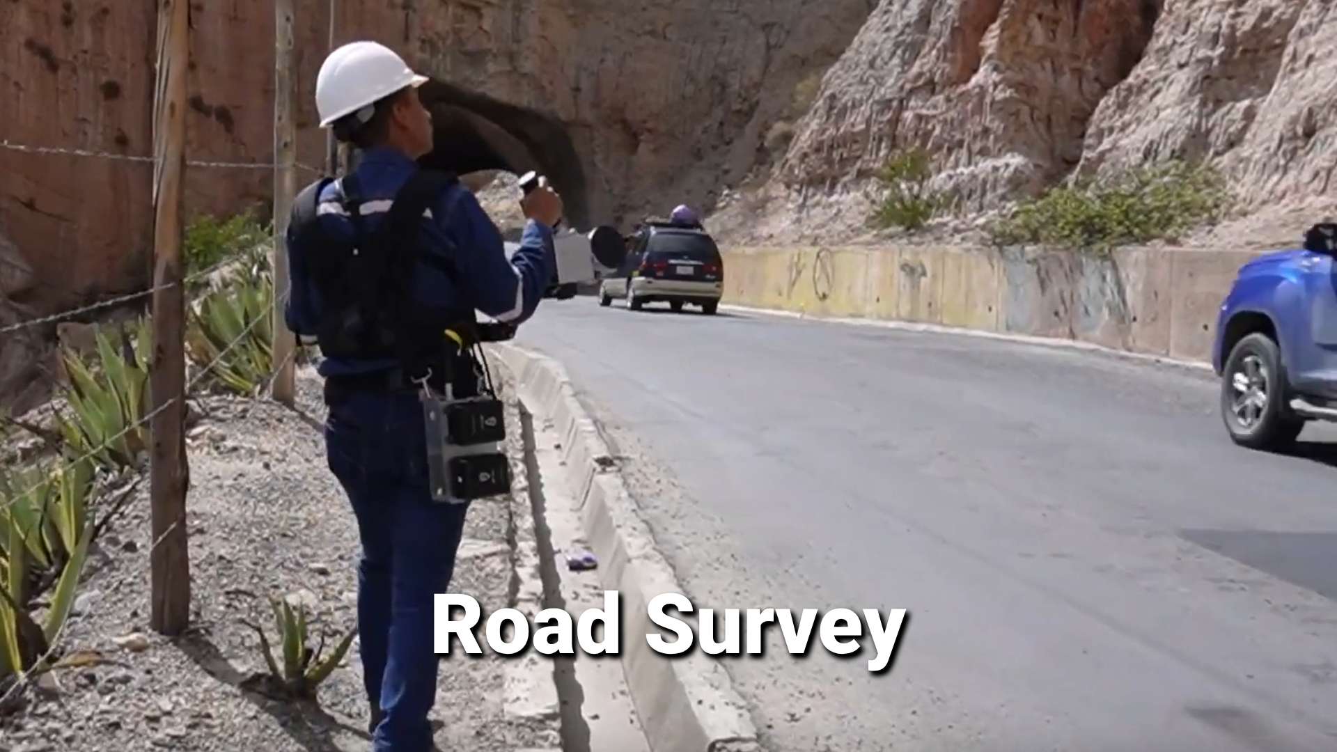
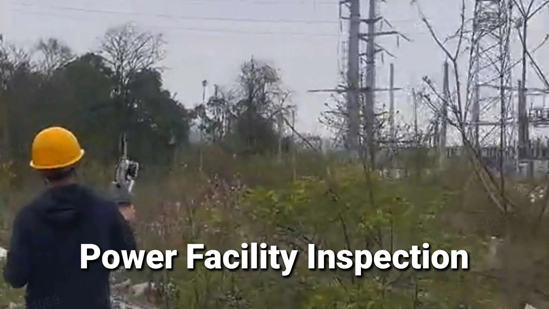
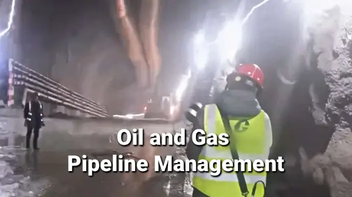
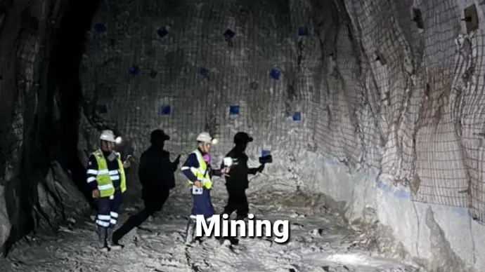
- Infrastructure & Mining
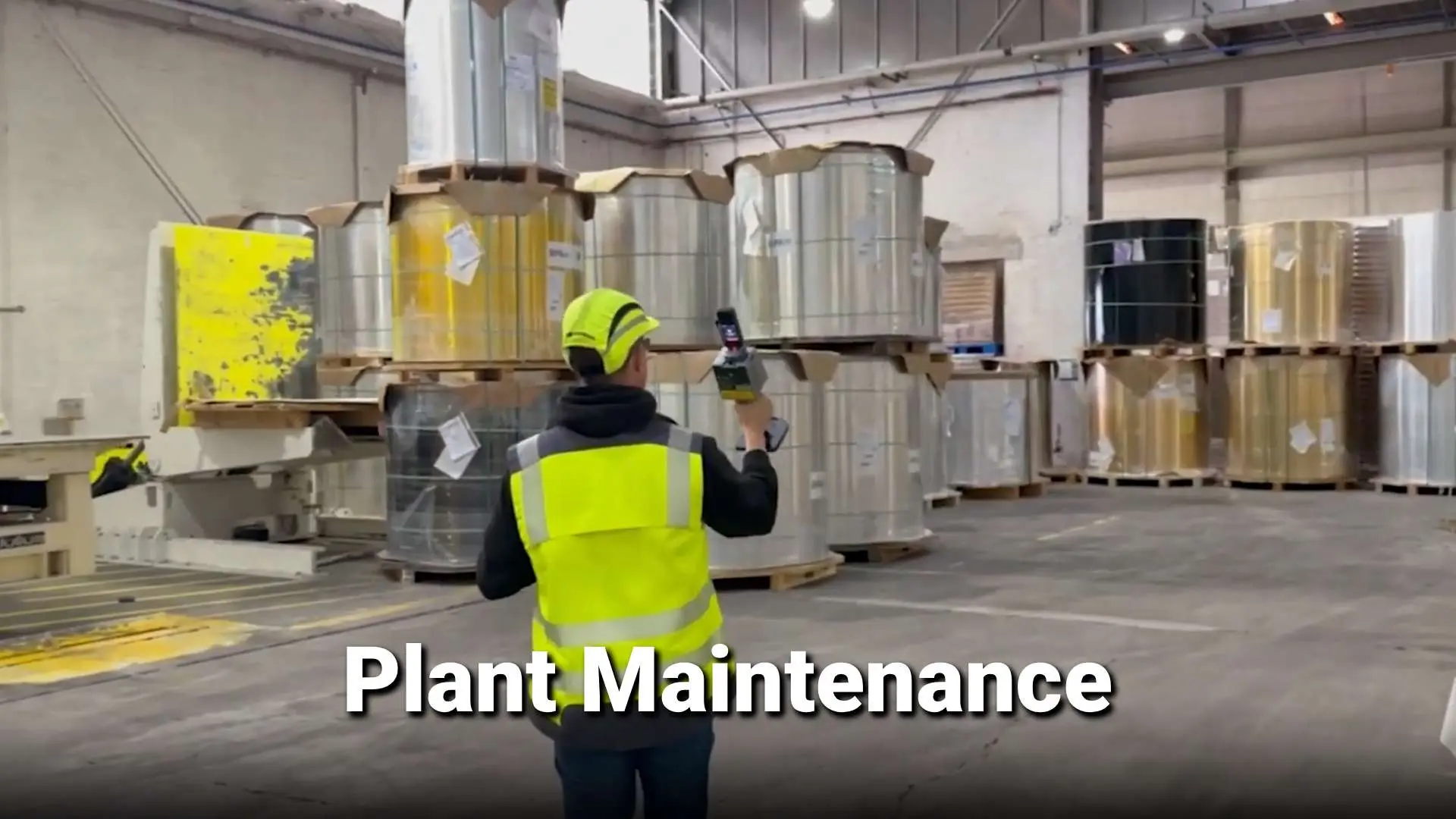
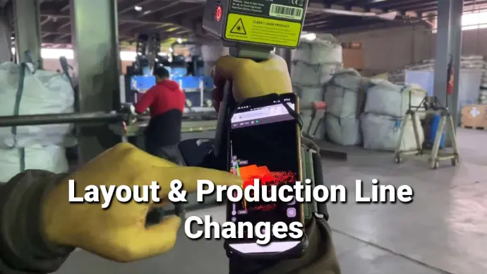
- Manufacturing
- Heritage Protection


ニュース
Your Dynamic Snippet will be displayed here... This message is displayed because you did not provided both a filter and a template to use.