Main Features
Compact Design, Professional Precision
You can walk around while capturing dense point clouds and monitor your progress in real time with the Scan App, ensuring complete coverage through real-time point cloud visualization and effortlessly obtaining colored point clouds.
High-Quality 3D Gaussian Splatting
With data captured by the FJD Trion V4e LiDAR Kit, users can efficiently generate high-quality 3D Gaussian Splatting (3DGS) representations.
TWO FLEXIBLE SETUPS, MULTIPLE SCENARIOS
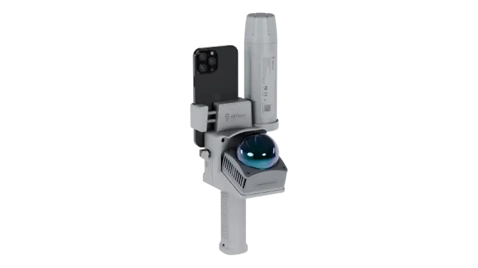
1. Smartphone x V4e x LiDAR
Building facades, utility mapping and outdoor BIM projects.
With RTK providing centimeter-level accuracy and the LiDAR Kit delivering dense point clouds, this setup achieves professional-grade, georeferenced 3D models.

2.Smartphone x LiDAR
Ideal for Detailed indoor mapping without GNSS: Facility mapping, warehouses, underground spaces, and industrial plants.
When RTK signals are unavailable indoors, the LiDAR Kit still enables accurate indoor point cloud capture on your smartphone, ensuring precise layouts and reliable documentation.
ALL-IN-ONE SEAMLESS WORKFLOW
Integrate seamlessly with both FJD Trion Scan and Model software, offering a streamlined workflow from data capture to final deliverables.
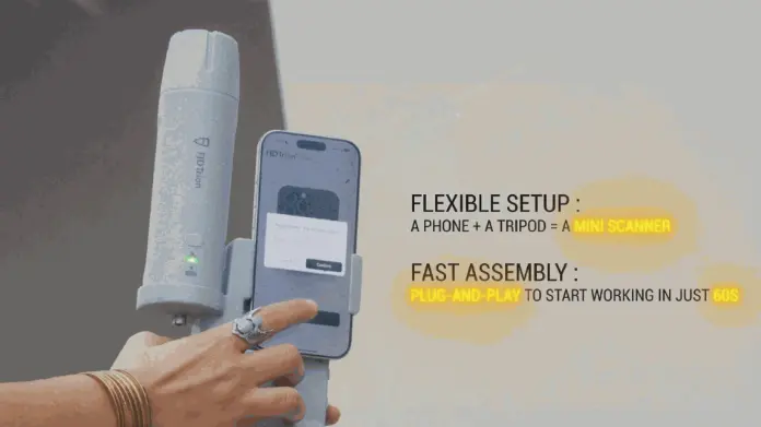
Flexible Setup
Turn your smartphone and the LiDAR Kit into a scanner by simply connecting the Kit to the FJD Trion Scan App—fast assembly, plug and play, and ready to work in less than 60 seconds.
Scan & Preview
Walk around while capturing dense point clouds. You can monitor your progress in real time with the Scan App, ensuring complete coverage through real-time point cloud visualization.


Data Processing with
FJD Trion Model
FJD Trion Model
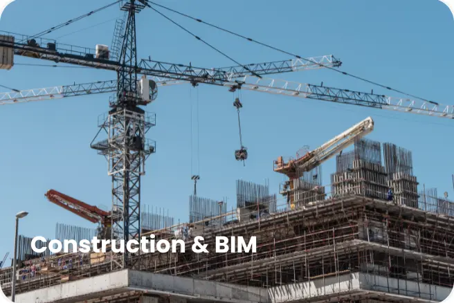
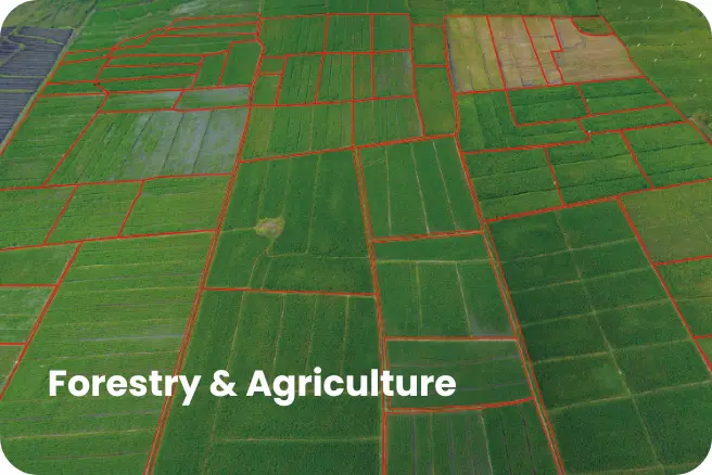
Import data into FJD Trion Model for advanced processing. You can leverage multi-industry application modules such as construction, utilities, forestry, and BIM—to analyze, model, and generate actionable outputs.

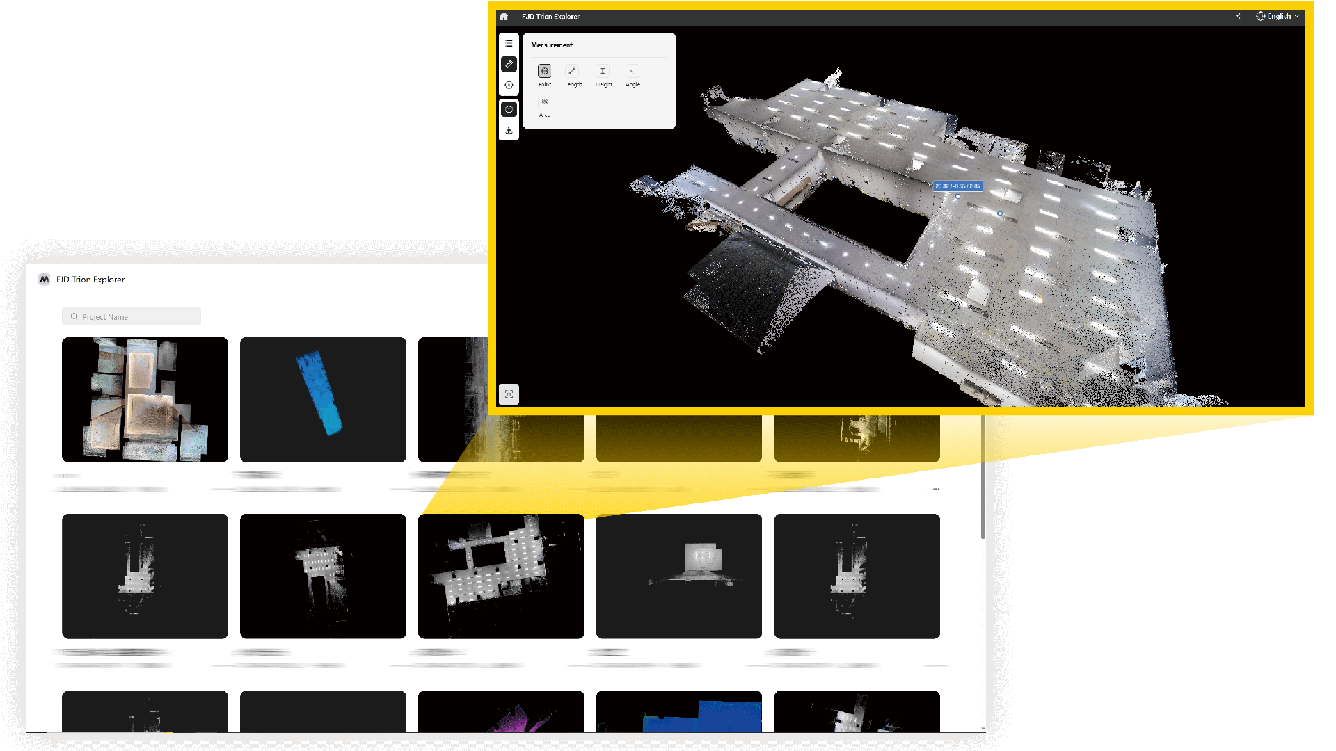
Collaboration via Trion Explorer
Upload point clouds to the Trion Explorer for collaborative editing, data management, and secure sharing. This lets you work seamlessly with your team anytime, anywhere.

Application Scenarios