Standard Components
Standard Components
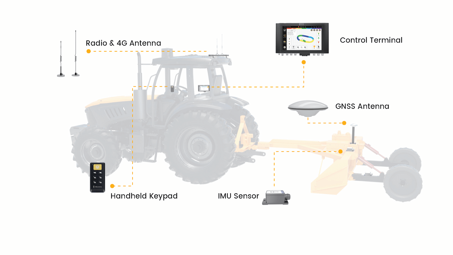
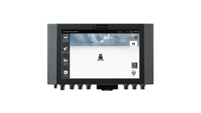
Control Terminal
Real-time display of leveling situation, vehicle position and RTK status. Saving on leveling benchmark and operation information.
-
Size(mm)
300 x 190 x 43
-
OS
Android 5.1
-
Network Module
4G. Compatible with 2G/3G
-
Screen
10.1 inch, 1280 x 800 pixels,
LED backlight
-
IP Rating
IP65
-
Power Supply
10 V - 30 V
-
Access Port
CameraX2, radio×1, 4G×1, GNSS×2,
IP Rating image transmission×2
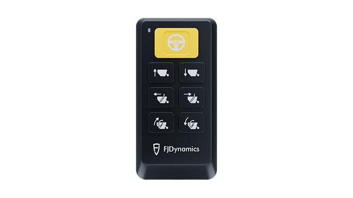
Handheld Keypad
A keypad can be used anywhere as required to provide accurate control in shaky or dusty cabs.
-
Power Input
9-36 V
-
Button Life
≥ 1million clicks
-
Storage Temperature
-40℃ ~ 85℃
-
Operating Temperature
-40℃ ~ 85℃
-
IP Rating
IP67
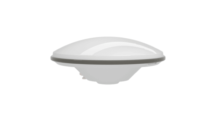
GNSS Antenna
Receive positioning and orientation information for better control.
-
Size (mm)
152 × 63
-
Signal Frequency
GPS L1/L2, GLONASS L1/L2, BDS B1/B2/B3
-
IP Rating
IP67
-
Operating Temperature
-20℃ ~ 70℃
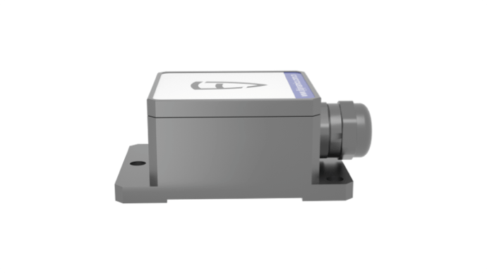
IMU
Calculate and communicate the real-time position of the blade to control terminal.
-
Size (mm)
55 × 37 × 24 mm
-
Static Accuracy
0.3°
-
Power Supply
5V DC
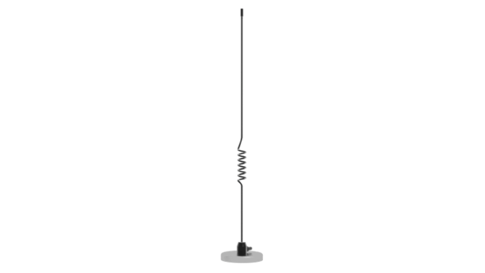
Radio Antenna
Receive the base station RTK signal.
-
Frequency bands
433/470 MHz
-
Max. power
100 W
-
Operating Temperature
-20℃ ~ 65℃
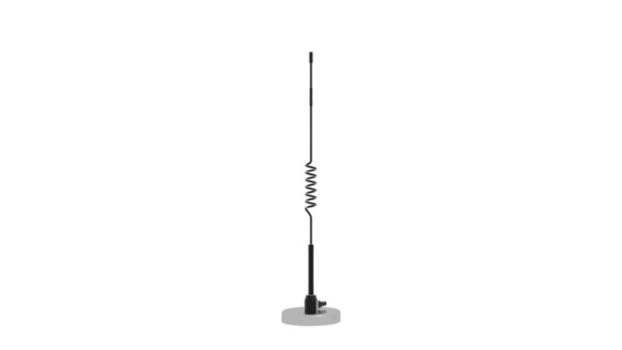
4G Antenna
Receive the network(4G) RTK signal.
-
Frequency bands
B1/B2/B3/B5/B8/B38/B39/B40/B41
-
Max. power
100 W
-
Operating Temperature
-20℃ ~ 65℃